A city called Rawalpindi may be found on the Potwar Plateau, not far from Pakistan's capital city of Islamabad. It was the country's capital when Islamabad was built in the 1960s and serves as the military headquarters of the Pakistan Armed Forces. Numerous manufacturing enterprises are located throughout the city.
The capital, as well as Rawalpindi, are both served by Islamabad International Airport, which is actually located there. In the Punjab province, Rawalpindi is situated 275 kilometers (171 miles) to the northwest of Lahore. It serves as the district's administrative center for Rawalpindi. Pindi, another name for Rawalpindi, has a long history spanning many centuries. As far back as three thousand years ago, according to archaeologists, a separate society lived on this plateau.
The physical remains discovered there demonstrate the existence of a Buddhist establishment that existed contemporaneously with Taxila but was less well-known than its neighbor. The destruction caused by the Huns seems to have led to the disappearance of the ancient metropolis. Mahmud of Ghazni, the first Muslim invasion (979–1030), gave the destroyed city to Kai Gohar, the chief of the Gakkhar tribe. Due to its location on an invasion route, the town was unable to thrive and was left abandoned until Jhanda Khan, another Gakkhar Chief, repaired it and gave it the name Rawalpindi in honor of the nearby village of Rawal, in 1493.
Gakkhar's authority over Rawalpindi persisted until Muqarrab Khan, the last Gakkhar monarch, was overthrown by the Sikhs in 1765. The Sikhs welcomed traders to settle here from various regions. As a result, the city gained notoriety. After the British conquered the Sikhs and took control of Rawalpindi in 1849, the city was occupied by the British troops permanently in 1851. A railway line was built to Rawalpindi in the 1880s, and on January 1st, 1886, train service was launched. Following Lord Dalhousie's decision to make Rawalpindi the Northern Command headquarters and the largest British military post in British India, a railway connection became necessary.
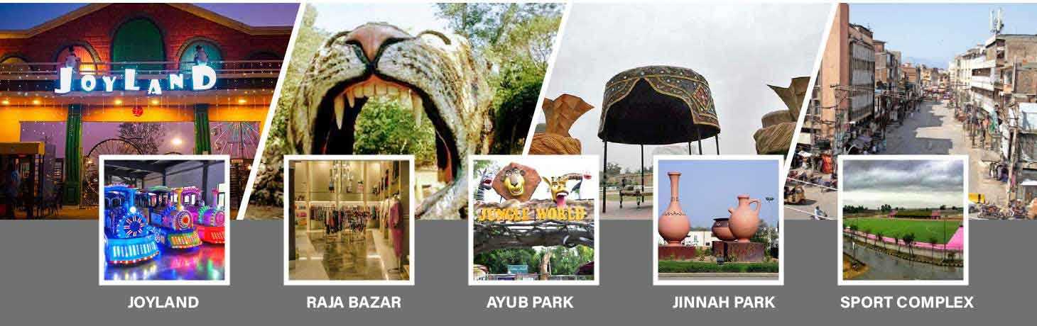
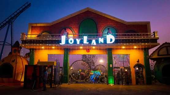
The first elected prime minister of Pakistan, Liaquat Ali Khan, was assassinated in Rawalpindi's Liaquat Garden in 1951. The headquarters of the Pakistani Army and Air Force are currently located in Rawalpindi. Numerous political and social events have taken place on the well-known Murree Road. The Nala Lai, known for frequent floods, splits the city into the city region and the Cantonment area. The water in Nala Lai was once described in history as being pure enough to be used for washing clothes, but today it is contaminated by waste water from factories and homes, among other sources. It is quickly becoming a sizable, contemporary metropolis. It has a lot of top-notch hotels, eateries, nightclubs, museums, and playgrounds.
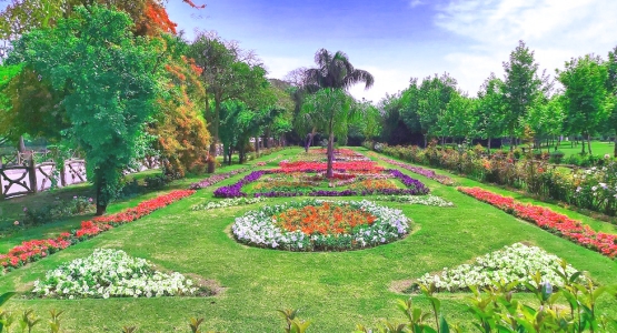
It has several parks, the largest of which is Ayub National Park. The closest major city to the Galiyat region's vacation spots and hill towns, including Murree, Nathia Gali, and Ayubia, is Rawalpindi. Additionally, it is frequently used as a starting point by travelers going to Abbottabad, Swat, Kaghan, Gilgit, Hunza, Skardu, and Chitral.